
About Course
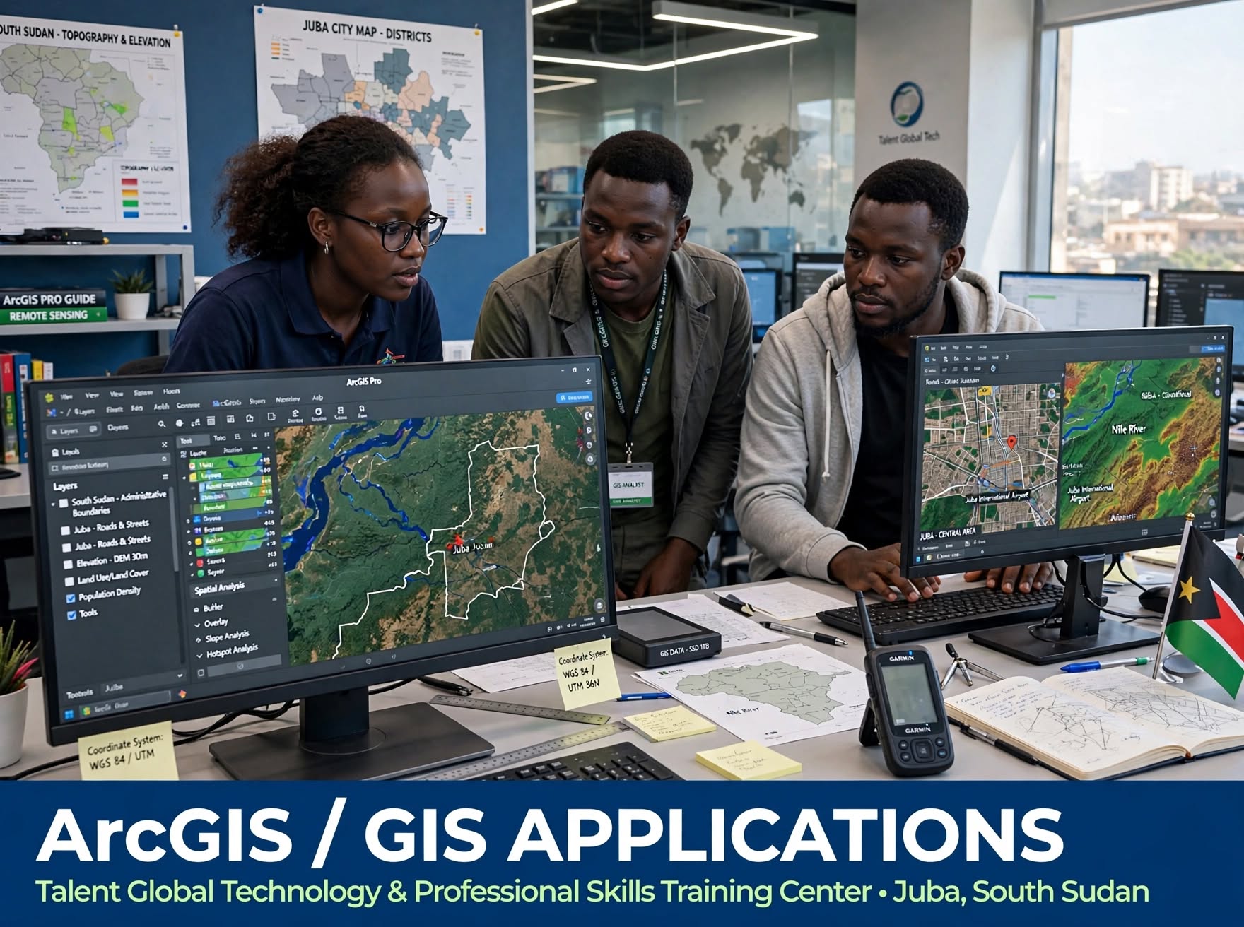
This hands-on, industry-relevant course introduces learners to Geographic Information Systems (GIS) and its powerful applications using ArcGIS and other GIS platforms. Designed for the South Sudan context, the course equips learners with practical skills to collect, manage, analyze, and visualize spatial data for informed decision-making in engineering, surveying, urban planning, humanitarian work, environment, and development. Learners will work with real maps, including Juba city and South Sudan datasets.
What You Will Learn:
- Fundamentals of GIS, spatial data types, and coordinate systems (WGS 84 / UTM 36N)
- Introduction to ArcGIS Pro and ArcGIS Online interface and tools
- Map creation – symbology, labeling, and layout design
- Working with vector and raster data, satellite imagery and GPS data
- Georeferencing, digitizing and managing geospatial databases
- Spatial analysis – buffer, overlay, slope analysis and hotspot analysis
- Creating thematic maps for population, land use, roads and infrastructure
- Field data collection integration with GPS and mobile GIS tools
- Practical projects – Juba city mapping, site suitability and topography analysis
Who Should Enroll:
Perfect for civil engineers, surveyors, architects, urban planners, environmentalists, M&E officers, humanitarian workers, researchers, and students who want to use maps and spatial data for planning and decision-making. Basic computer skills are required.
By the End of the Course, You Will Be Able To:
Confidently use ArcGIS to create professional maps, perform spatial analysis, manage geospatial data, integrate GPS field data, and produce high-quality map layouts for engineering, planning and humanitarian projects in South Sudan.
Part of our Engineering Software and Geospatial programs at Talent Global Technology and Professional Skills Training Center, Juba.